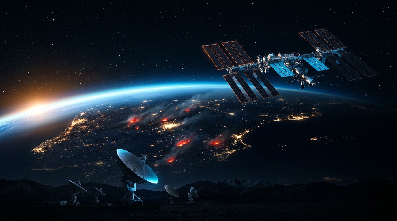
Spain Wildfires and NASA Antennas: Safeguarding ISS Tracking
Every time you step out into your garden or onto your balcony to watch a dazzling point of light streak across the night sky, an invisible thread of radio frequency links that spacecraft to facilities down on solid ground. Recently, a major wave of wildfires across the Iberian Peninsula nearly compromised some of the most critical ground tracking stations on the planet, operated by NASA and the European Space Agency (ESA) on Spanish soil. For those of us who passionately follow every pass of the International Space Station, this event highlights just how much the wonder of looking up at the sky depends on critical and extremely vulnerable infrastructure on Earth.
What happened
Over recent summers, the Iberian Peninsula has endured extreme weather events marked by prolonged heatwaves and severe drought. This combination created ideal conditions for fast-moving wildfires that edged right up to the perimeter of several high-priority aerospace facilities. Among the most exposed sites were the Madrid Deep Space Communications Complex in Robledo de Chavela (managed by NASA), the Cebreros station in Ávila, and the Villafranca del Castillo centre in Madrid (both operated by ESA).
According to reports by SpaceNews, key infrastructure at both agencies managed to avoid serious structural damage and suffered no significant operational loss. The effectiveness of preventive firebreaks, systematic clearing of brush around the massive parabolic antennas, and rapid response from firefighting crews kept the radio communications equipment safe. Even though flames consumed hectares of scrubland nearby, emergency protocols prevented heavy smoke or extreme heat from forcing a full evacuation of technical staff or requiring high-power transmitters to be shut down.
These Spanish stations house monumental dishes, such as the 70-meter antenna at Robledo de Chavela (DSS-63) and the 35-meter deep space antennas at Cebreros. Their primary mission is to beam commands to spacecraft millions of kilometers away and receive vital telemetry confirming that all onboard systems are operating properly. Structural damage or a prolonged power outage at these sites would create a geographic blind spot in global space communications.
Why it matters
To understand the scale of the threat, it helps to examine how space communication networks operate. Because the Earth is constantly rotating, a single ground-based antenna cannot maintain continuous contact with an object in orbit or on an interplanetary course. To overcome this obstacle, agencies like NASA designed the Deep Space Network (DSN), positioning major complexes at three strategic locations around the globe roughly equidistant in longitude: Robledo de Chavela in Spain, Goldstone in the United States, and Canberra in Australia. If one of these three legs goes offline or suffers irreparable damage, seamless global coverage collapses.
Although the International Space Station primarily relies on geostationary data relay satellites to maintain broadband contact with mission control, the ground segment in Spain and across Europe serves as a critical backup and support network for space infrastructure. European ground stations gather telemetry, track the precise trajectory of cargo and crew capsules during approach and reentry, and support an immense array of scientific missions in low Earth orbit.
The impact of wildfires on these facilities reveals a fascinating paradox of the space age: while we design technology capable of navigating between planets or sustaining inhabited laboratories in the vacuum of space, we remain profoundly dependent on the environmental stability of our terrestrial landscapes. The rise of extreme weather events across Southern Europe is forcing space agencies to rethink their physical security strategies, investing significant budgets into fire buffer zones, uninterruptible power systems, and data redundancy. Without these safeguards on the ground, exploration up above becomes exponentially more perilous.
What to look for in the sky
The next time you check our real-time tracker to locate the orbital complex, remember the vast technical network working behind the scenes to make that sight possible. At this very moment, the International Space Station is flying at an altitude of 439 km above Earth's surface, traveling at a staggering speed of 27,528 km/h. At that pace, the ISS completes a full orbit around Earth roughly every 90 minutes, sweeping over continents and oceans in the blink of an eye.
Aboard this orbital laboratory, an international crew lives year-round, rotating in shifts of roughly six months and dedicating their time to scientific research and station maintenance.
If you want to discover who is on board right now and what missions they are carrying out, visit our section on the current ISS crew. To coordinate your night sky sessions and know exactly when the complex will be visible from your location, be sure to check out our step-by-step guide to spotting the ISS and see the brightest flyovers on our pass times page.
When you watch the ISS cross the sky as a steady, brilliant point of light, you are witnessing an extraordinary technical achievement. The station demands a continuous stream of altitude commands, orbital decay calculations, and life support monitoring. The very ground antennas that dodged the flames in Spain help keep those operations running smoothly, ensuring the crew's journey remains a success as we gaze up at its dazzling transit right from our own rooftops.
Keep your eyes on the stars and take advantage of our interactive tools so you never miss the next pass of the International Space Station over your city.
Source: SpaceNews ↗