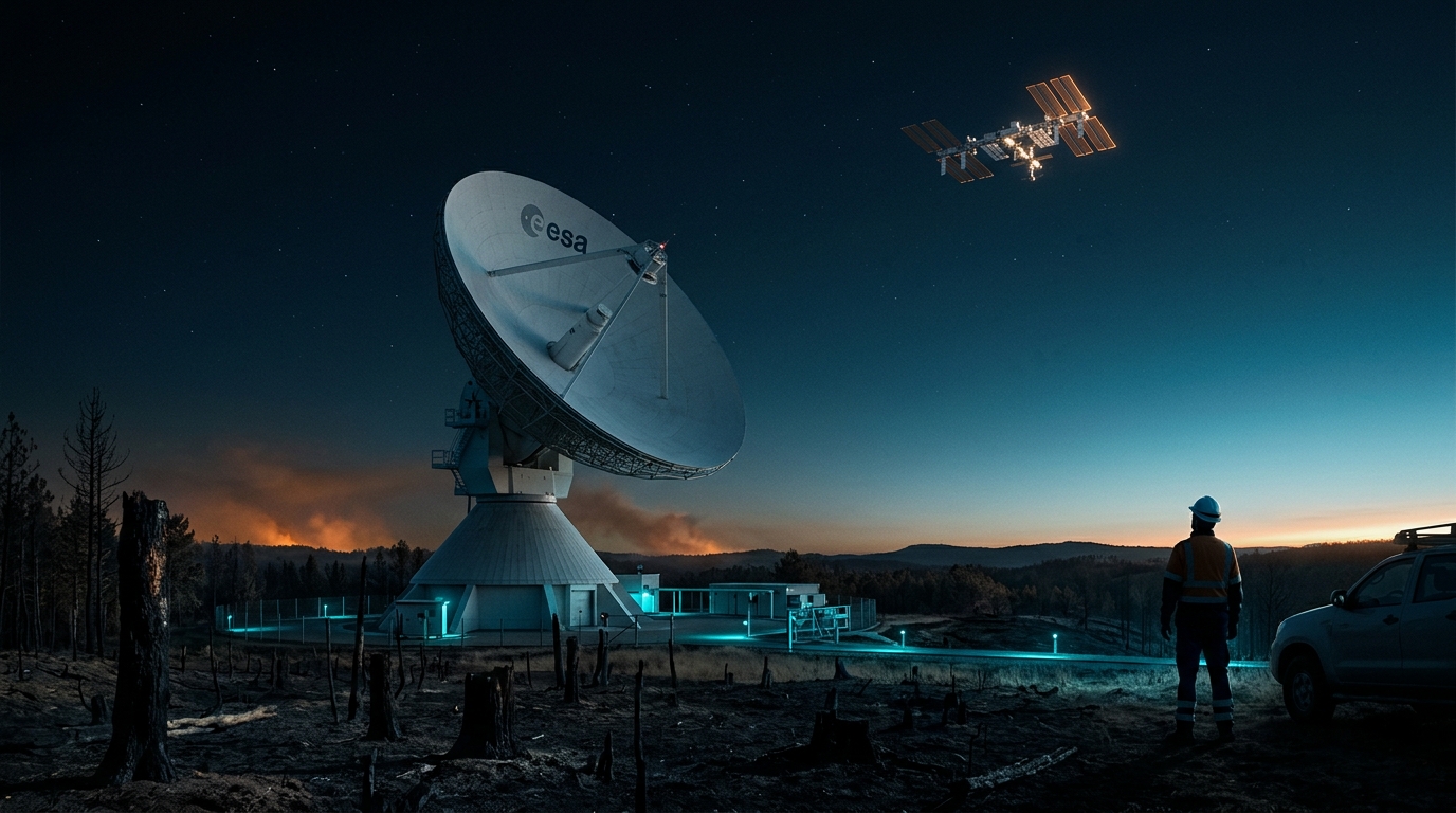
Cebreros Resumes Operations: Why Ávila Wildfires Threaten Deep Space Tracking
When you look up at night to spot the brilliant streak of the International Space Station, you tend to imagine space exploration as an adventure unfolding exclusively in Earth orbit or the interplanetary void. However, nothing happening hundreds of kilometers up or millions of kilometers away would work without a network of giant steel dishes and high-precision electronics firmly anchored to the ground. The recent scare at the Cebreros deep space tracking station, located in the province of Ávila, Spain, has starkly reminded us that our connectivity with the cosmos relies directly on the safety and stability of our own terrestrial environment.
What happened
The European Space Agency has authorized the full return to operations at the Cebreros deep space tracking station, located in the province of Ávila, Spain. The facility was forced to immediately activate its safety and emergency protocols, temporarily pausing part of its routine activity due to the real and imminent danger posed by forest fires that hit the region hard in recent weeks—a situation that threatened key infrastructure for continental astronautics.
According to specialized outlet European Spaceflight, official confirmation of the operational restart was announced by the agency's Director General, Josef Aschbacher. The green light to restore service came only after a specialized technical team completed a comprehensive battery of safety inspections across every critical subsystem at the center. The checks covered the parabolic dish's metal structure, high-sensitivity radio frequency reception systems, fiber-optic transmission lines, and electrical power supplies.
In high-precision space telecommunication facilities, operational caution is an indisputable rule. Intense heat from nearby fires can cause thermal expansion imperceptible to the naked eye within the antenna's structure, warping the exact curvature required to focus extremely faint radio waves. In addition, dense smoke and airborne particulates can settle on optical and radio frequency receivers, degrading data channel quality or introducing harmful thermal noise. Thorough testing carried out by the engineering team confirmed that the station suffered no structural damage or electronic component degradation, proving the effectiveness of the protective barriers around the Ávila operating facility.
Why it matters
The Cebreros station, which became operational in 2005, is an essential pillar of international astronomical research. The facility houses an imposing 35-meter-diameter parabolic antenna designed to transmit control commands and capture telemetry signals from scientific probes hundreds of millions of kilometers away from Earth. Alongside sister facilities at New Norcia in Australia and Malargüe in Argentina, Cebreros forms the deep space backbone of ESA's ESTRACK network. The geographic distribution of these three stations follows a strategic design: spaced roughly 120 degrees of longitude apart, they provide uninterrupted 360-degree coverage, ensuring that at least one giant dish is always pointed toward distant missions as Earth rotates on its axis.
Had Cebreros suffered severe damage or prolonged downtime, the operational impact on European science missions would have been substantial. The Ávila site operates links with some of the most complex missions in the European space catalog. Among them are the JUICE probe, currently en route to Jupiter's icy moons; the BepiColombo mission, performing complex orbital maneuvers around hostile Mercury; the Euclid space telescope, dedicated to mapping the universe's dark matter and dark energy; and the Solar Orbiter probe, designed to study solar activity up close. Losing a key network node would have forced Australia and Argentina to absorb heavy workloads or required emergency transmission time from NASA's Deep Space Network (DSN), complicating the global schedule for downloading scientific data.
This incident highlights a troubling reality for the space sector: the rise of extreme weather events and heatwaves linked to climate change across southern Europe poses an emerging threat to ground stations. While space science looks to the stars, its reliance on surface infrastructure demands updated contingency plans against natural disasters such as large-scale wildfires.
Our take
On our platform, we track the minute-by-minute trajectory of objects crossing the night sky, with the International Space Station being the top target for our readers. Although facilities like Cebreros track distant interplanetary missions rather than low Earth orbit satellites, the incident in Ávila offers a fundamental lesson on how the technology that allows you to view and understand space from home actually works.
Right now, according to updated data from our real-time tracker, the ISS is flying at an altitude of 439 km at an orbital speed of 27,528 km/h. Inside, an international crew rotates on roughly six-month shifts. For you to know to the exact millisecond what time the ISS passes overhead from your location, ground tracking and orbit determination infrastructure just as rigorous as that operating at deep space facilities is required.
While the orbital complex uses dedicated communications networks for LEO (low Earth orbit), the operational lesson is the same: any failure or threat facing ground stations disrupts the data chain connecting astronauts to control centers and citizens to skywatching. The full recovery of service at Cebreros demonstrates that protecting our ground stations is the vital guarantee needed to keep exploring the cosmos and enjoying the spectacle of orbital passes right above our homes.
Check the current position of the International Space Station on our tracker right now and get ready to spot its next visible pass over your city.
Source: European Spaceflight ↗