Where Is the ISS Right Now: How to Read the Live Tracking Map
The question sounds simple: where is the International Space Station right now? The answer changes every second, because the station travels nearly eight kilometers in that time. By the time you finish reading this paragraph, it will have crossed an entire country.
The Data You Are Looking At
When a map displays the ISS's position, that point isn't the station itself: it is the station's projection onto the ground, technically known as the sub-satellite point. It is the place on Earth that has the ISS directly overhead, roughly 400 kilometers up.
That distinction matters. A dot over Morocco doesn't mean you can only spot it from Morocco and not from Spain: from an altitude of 400 kilometers, the visible horizon spans a circle over two thousand kilometers across. The station is visible from a vast swath of territory, not just a single point.
Why the Ground Track Forms a Wave
The first thing you notice when opening a tracking map is that the path isn't a straight line or a circle: it's a wavy curve that oscillates between roughly 51 degrees north and 51 degrees south latitude.
That wave is an artifact of map projection. The ISS's orbit is indeed circular, but it is inclined at 51.6 degrees relative to the equator. When you flatten a sphere onto a rectangular map, that tilted circle becomes a sine wave.
The second peculiarity is that each orbit appears shifted to the left compared to the previous one. This isn't a glitch either: the ISS takes about 92 minutes to complete one orbit, and during that time Earth has rotated roughly 22 degrees beneath it. That's why it never follows the exact same path twice, and why it eventually flies over nearly all inhabited regions of the planet.
We explain the complete mechanics in how the ISS orbits.
The Numbers Displayed with the Position
Alongside the coordinates, three other figures usually appear that are worth knowing how to read:
- Altitude: roughly 400 kilometers, but it is not fixed. The station continuously loses altitude due to atmospheric drag and recovers it through periodic reboost maneuvers. Seeing this figure fluctuate between 405 and 415 kilometers over the months is completely normal.
- Speed: around 27,600 km/h, or 7.66 kilometers per second. This isn't a design choice: at that altitude, that is the exact speed required for the station's fall to match Earth's curvature rather than crashing into it.
- Latitude and longitude: the ground position. If latitude is increasing, the station is heading north; if it's decreasing, it's heading south.
Where Those Coordinates Come From
Here is something that surprises almost everyone: no tracker receives the ISS's position live. Instead, there is a set of orbital parameters published periodically based on radar observations, and a mathematical model that calculates where the station should be at any given moment.
That is why two different apps might show slightly different locations: it depends on how recently each downloaded the orbital data. The differences usually amount to just a few seconds ahead or behind, which is irrelevant for naked-eye spotting. You can find the details in how to choose a good tracker.
It's Over My City Right Now: Can I See It?
Almost always, no. And this is the most common misconception of all.
Having the ISS pass directly overhead isn't enough to see it. Two other conditions must be met: it must be dark on the ground, and the station must still be illuminated by the Sun at its altitude. If it passes over at midday, it is invisible no matter how directly overhead it is. If it passes over at three in the morning, it will most likely be in Earth's shadow and impossible to see as well.
The usable window is the two to three hours after dusk and before dawn. To find out when the next visible pass happens from your specific location, use the pass schedule calculator, which automatically filters out passes that cannot be seen.
What to Do with the Map
Live tracking has two worthwhile uses. The first is understanding the orbital geometry: seeing how the trajectory approaches and recedes from your area, and anticipating where the next pass will appear. The second is pairing it with external camera livestreams: watching the live feed and the map side by side lets you identify whichever coastline or mountain range just came into view on screen.
You can check the updated position on our real-time tracker, find out who is currently on board on the crew page, and follow the cameras in our live streams section.
The dot on the map moves as you read. That very sensation is what makes keeping it open so worthwhile.
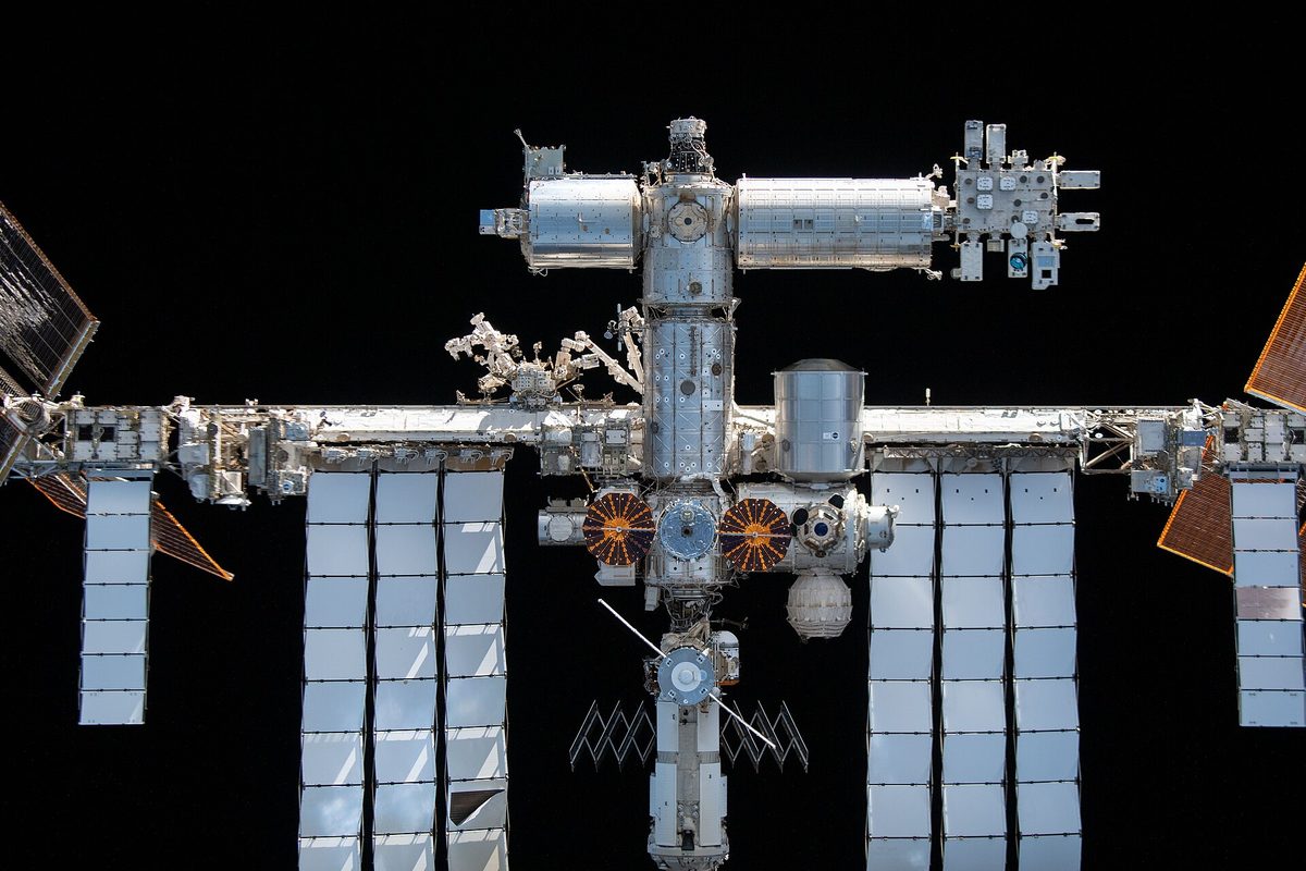
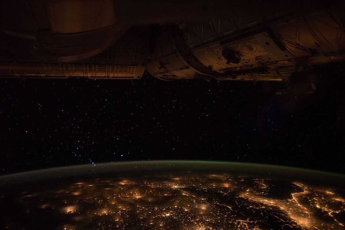
Images: cover, ISS from the SpaceX Crew Dragon Endeavor during Flyaround (iss066e080382) — NASA Johnson Space Center / Thomas Pesquet (Public domain). Interior, ISS-49 Europe city lights illuminate the ISS — NASA (Public domain).
Source: ISS Tracker ↗